I started working with geospatial technologies during my doctoral studies. I used GIS (Geographic Information Science) methods to support data visualization for urban planning issues through geospatial technologies.
Well-designed map products communicate powerfully by conveying a clear message to people from diverse backgrounds. Let’s tell stories with maps!
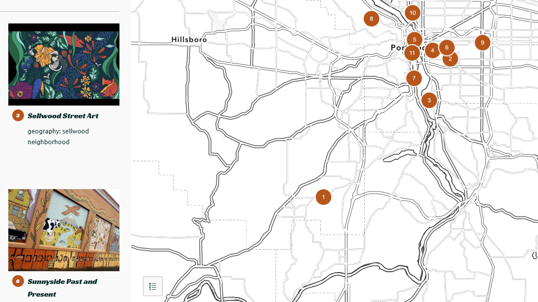
portland street art 25ed
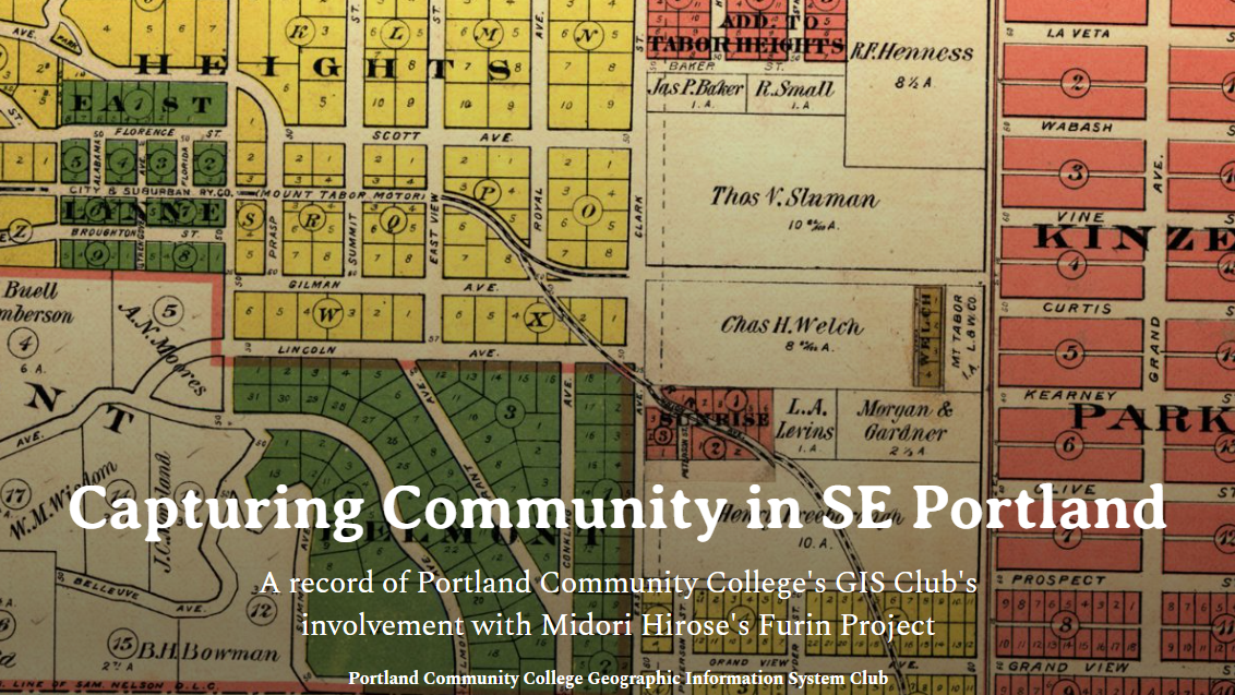
a storymap collection from the mapping cultural landscapes class (2025)
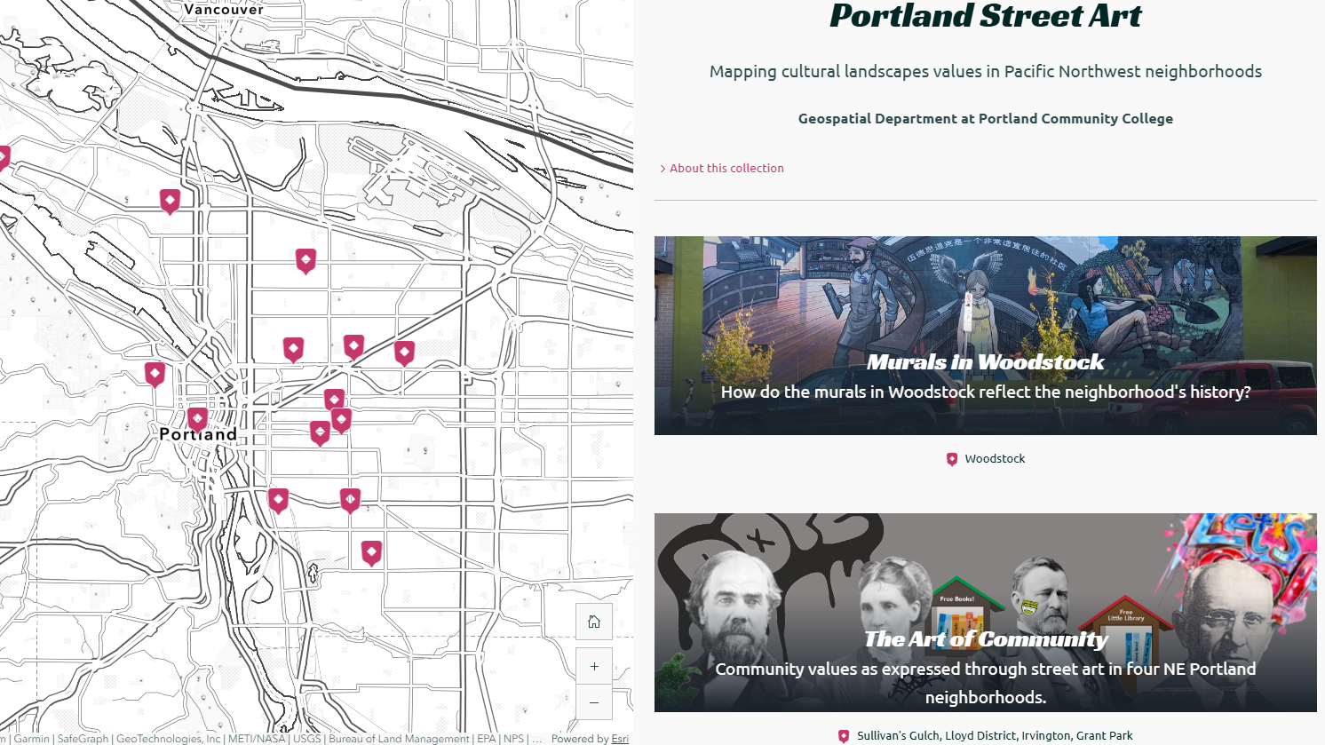
portland street art 24ed
mapping cultural landscape values in Pacific Northwest neighborhoods (2024)
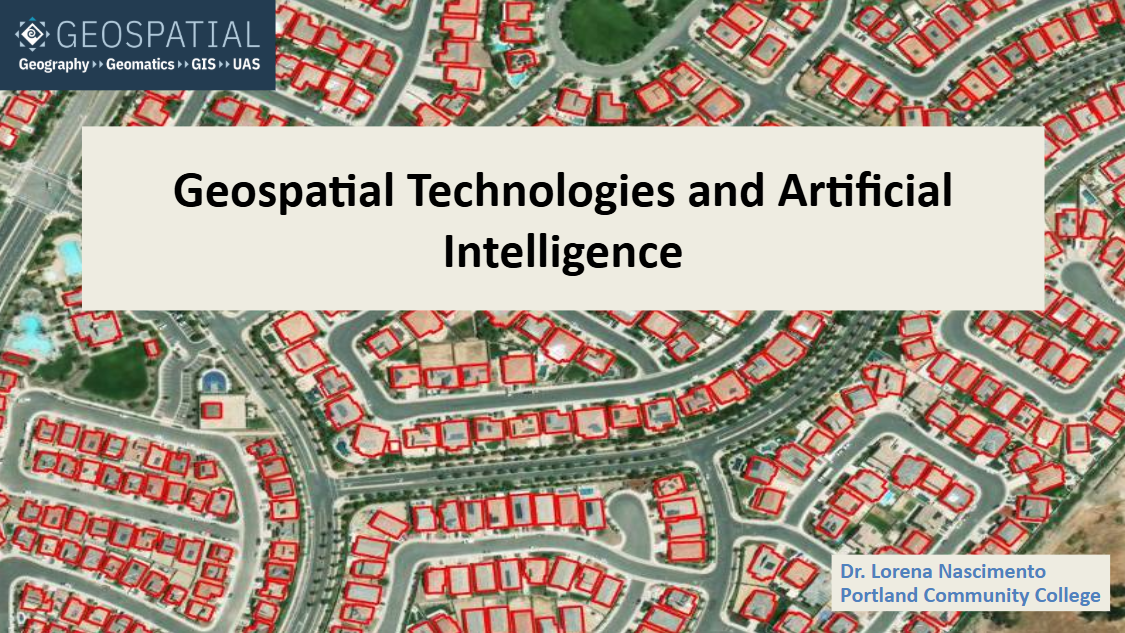
geospatial AI workshop
hands-on workshop about AI applications in site suitability – a GIS method (2023)
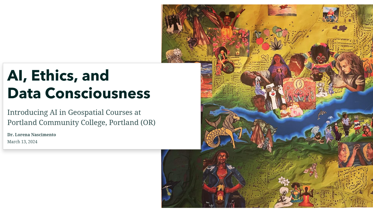
geospatial AI seminar
incorporating AI in geospatial curriculum (2024)
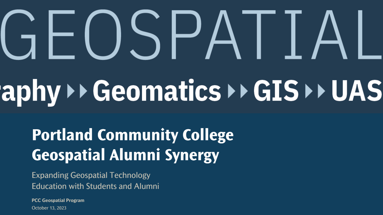
novelty pedagogy
NSF-ATE presentation about synergy between alumni & current students (2023)
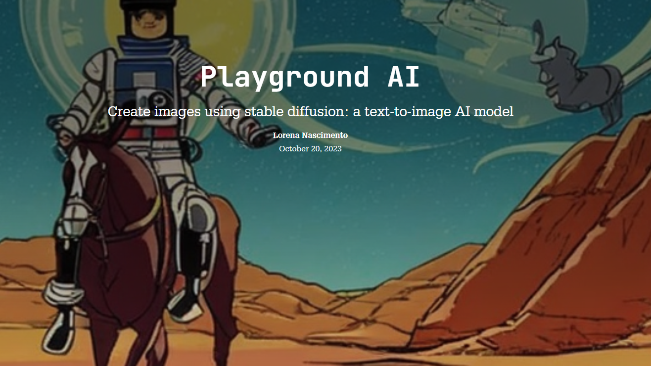
stable diffusion
AI workshop about smart prompts in text-to-image deep learning models (2023-24)
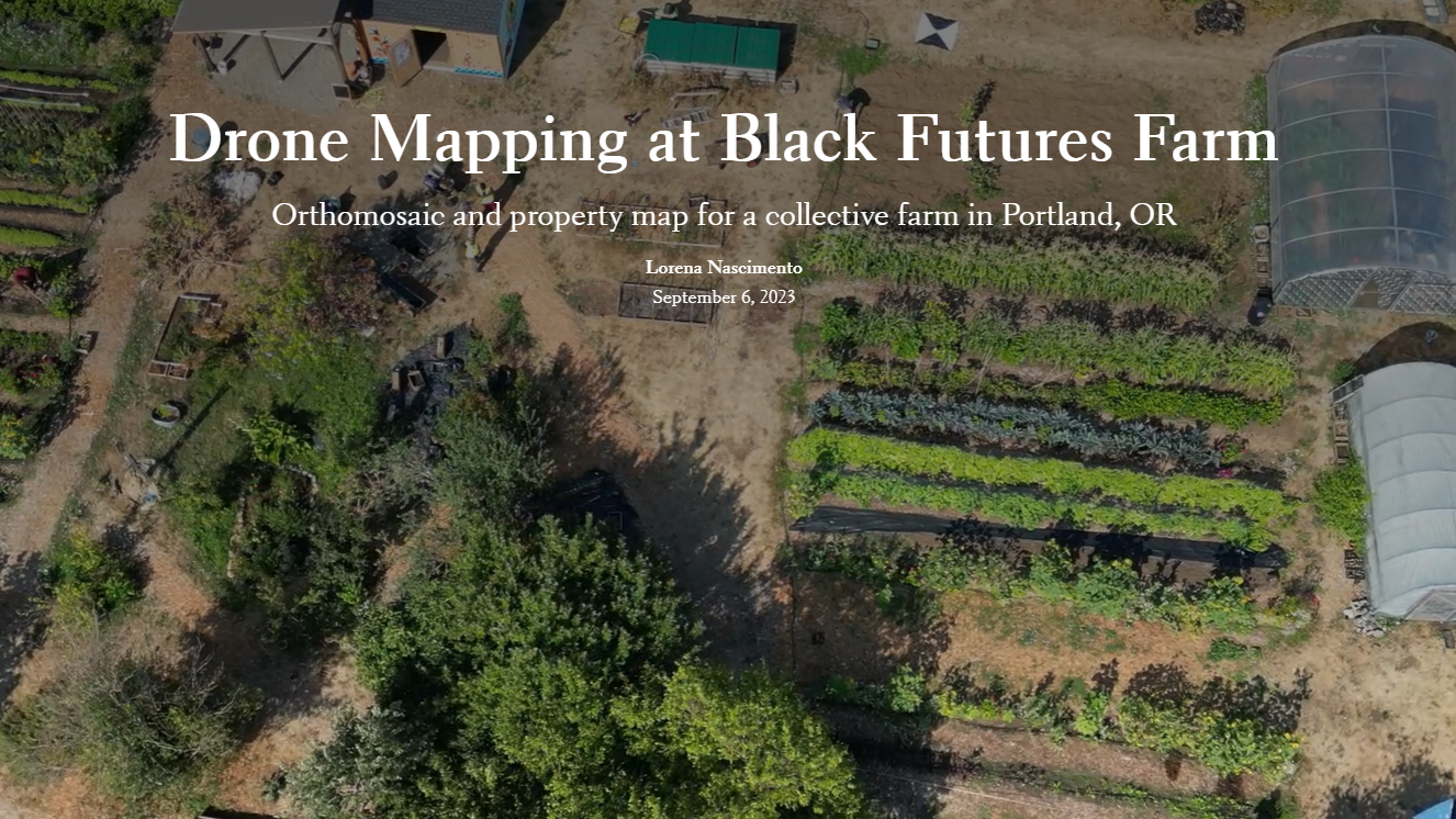
drone mapping
orthomosaic and property map for a collective farm in Portland, OR (2023)
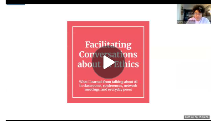
facilitating AI ethics
conference presentation about AI ethics in education (2026)
novelty cartography
Make Your Mark contest winner announced on NACIS 24 (2024)
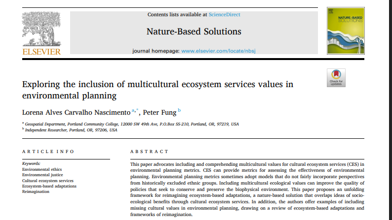
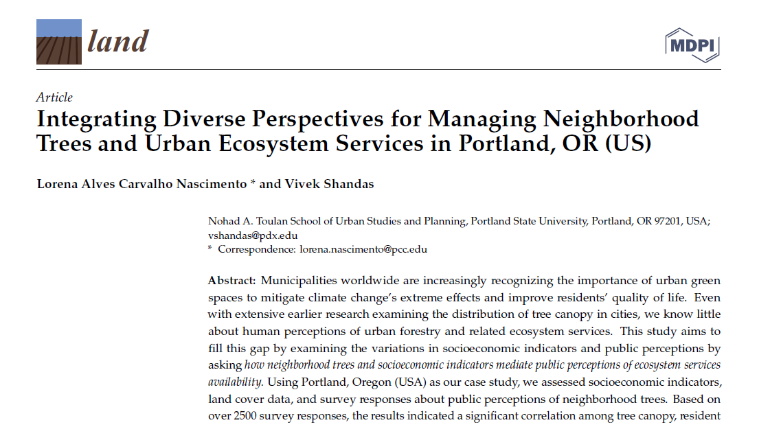
ecosystem services paper
implementing multicultural values in environmental planning metrics (2024)
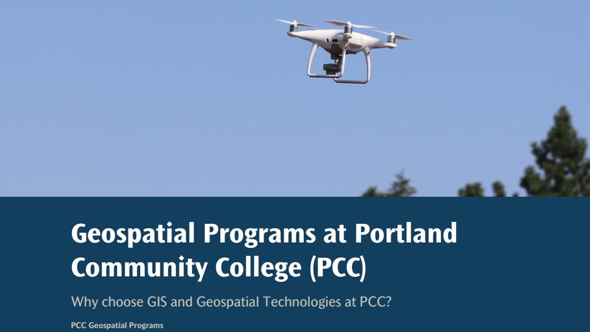
geospatial instruction
overview of geospatial programs I teach at Portland Community College (2020-now)
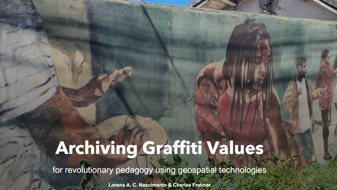
landscape metrics
exploring urban landscape metrics by mapping street art (2023)
cultural sustainability
learning cultural heritage with mapping and community development (2023)
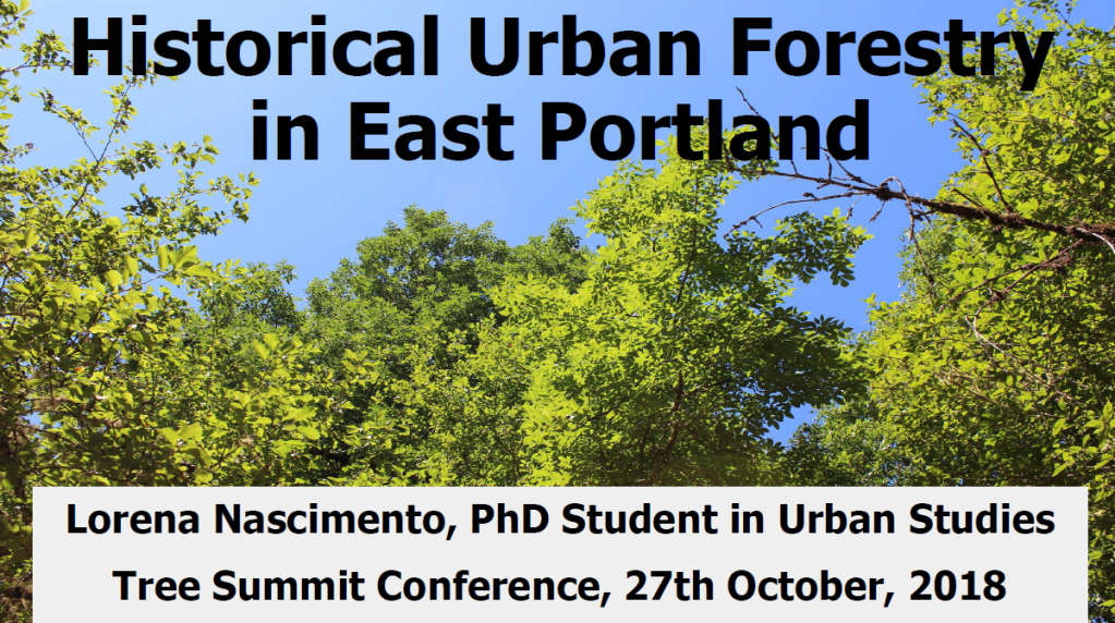
urban forestry seminar
exploring patterns in urban development and forestry policies (2018)
podcast interview
reimagining climate anxiety for youth (2021)
scholar webinar
nature-based solutions, ecosystem services, and climate resilience (2021)
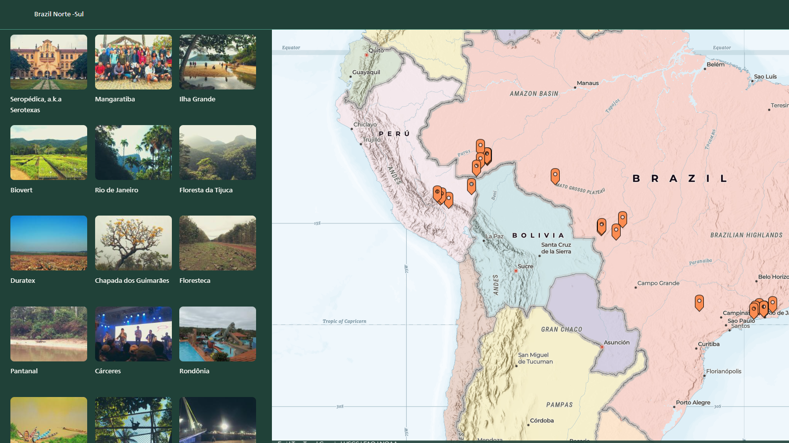
forestry expedition
ecology and economy of biomes in Brazil and Peru (2014)
urban forestry paper
urban forestry management and maintenance recommendations (2021)